Thématique
Cartography 7
What we call ‘Le Grand Paris’ is a space which is vague and changing, whose limits and acceptances remain unclear — how do we map it out ?
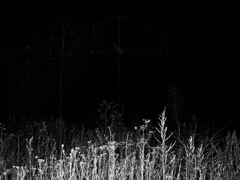
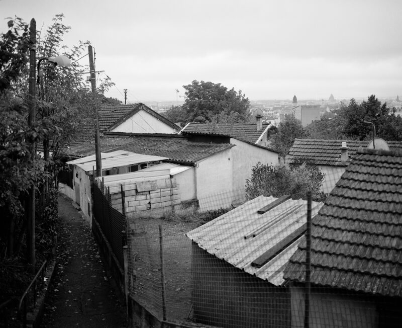
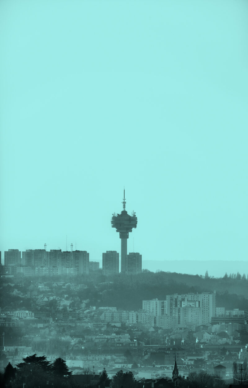
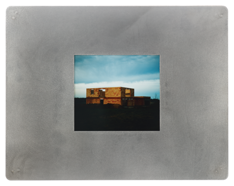
Unlike official maps – of Paris and its inimical shape, the metropolitan area, the region called the Île-de-France – artists are exploring new geographies and offering alternative, sensitive representations of the entire area, moving away from merely mapping transportation lines and well-known streets. Through this series of photographs, ‘ le Grand Paris’ will be delineated by its heights, its evening lights. its urban anomalies, its waste areas, its grey areas, its photography labs, and by the different waves of people moving through it every day. The maps have different kinds of landmarks, featuring random scales, differing landscapes as well as specific techniques and photographic treatments. They offer us a chance to peek into the diversity of this vast, changing metropolitan space, as well as showing us the impossibility of grasping its full meaning, its shape.
Associated perspectives
Frédérique Aït- Touati, historian, Alexandra Arènes, architect and Axelle Grégoire, architect